Innsbruck Viewpoints: City Tower, Hungerburg and Top of Innsbruck
Compare Innsbruck's viewpoints, from the City Tower above the Old Town to Hungerburg and the Top of Innsbruck cable car, with heights and ride times.
On this page
Innsbruck's viewpoints split into two groups: the City Tower in the middle of the Old Town, and the mountain terraces above town reached by the Hungerburgbahn funicular and two cable cars. The tower is the quick, low-cost option with a rooftop view of the colorful Altstadt; the Nordkette chain is the big-panorama option that takes most of a morning. This guide covers each viewpoint, the height and effort involved, and how to sequence them when cloud rolls in; for the wider sightseeing picture, see Things to Do in Innsbruck.
Innsbruck's viewpoints at a glance
Four viewpoints cover nearly every angle on the city. The Innsbruck City Tower (Stadtturm) puts you directly above the Old Town roofs. The Hungerburg terrace sits at 860 meters on the slope north of the river, reached in eight minutes by funicular. Higher still, Seegrube and the Top of Innsbruck climb the Nordkette ridge to 1,905 and 2,256 meters. South of the center, the free panorama point on Bergisel Hill looks back across the valley.
The split matters because the views fail differently. From the tower you look down into streets and roofs, so haze costs you the mountain backdrop but leaves the town legible. From the ridge you look down on the whole Inn Valley, which means low cloud can erase the city entirely. If the forecast is mixed, take the tower first and hold the cable car for a clear morning.
Innsbruck City Tower: 148 steps above the Old Town
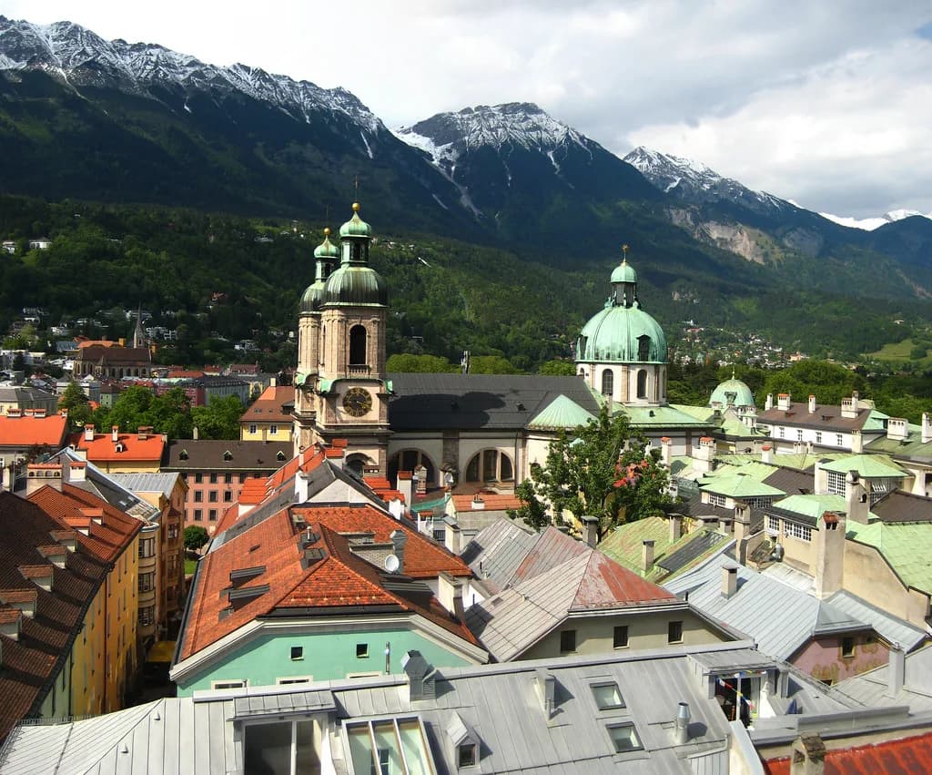
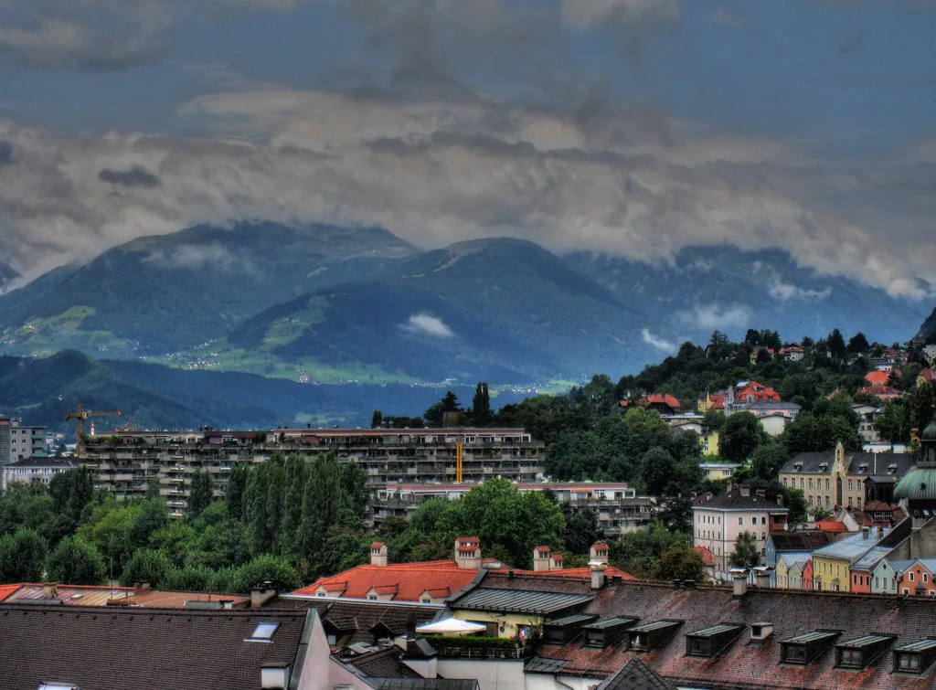
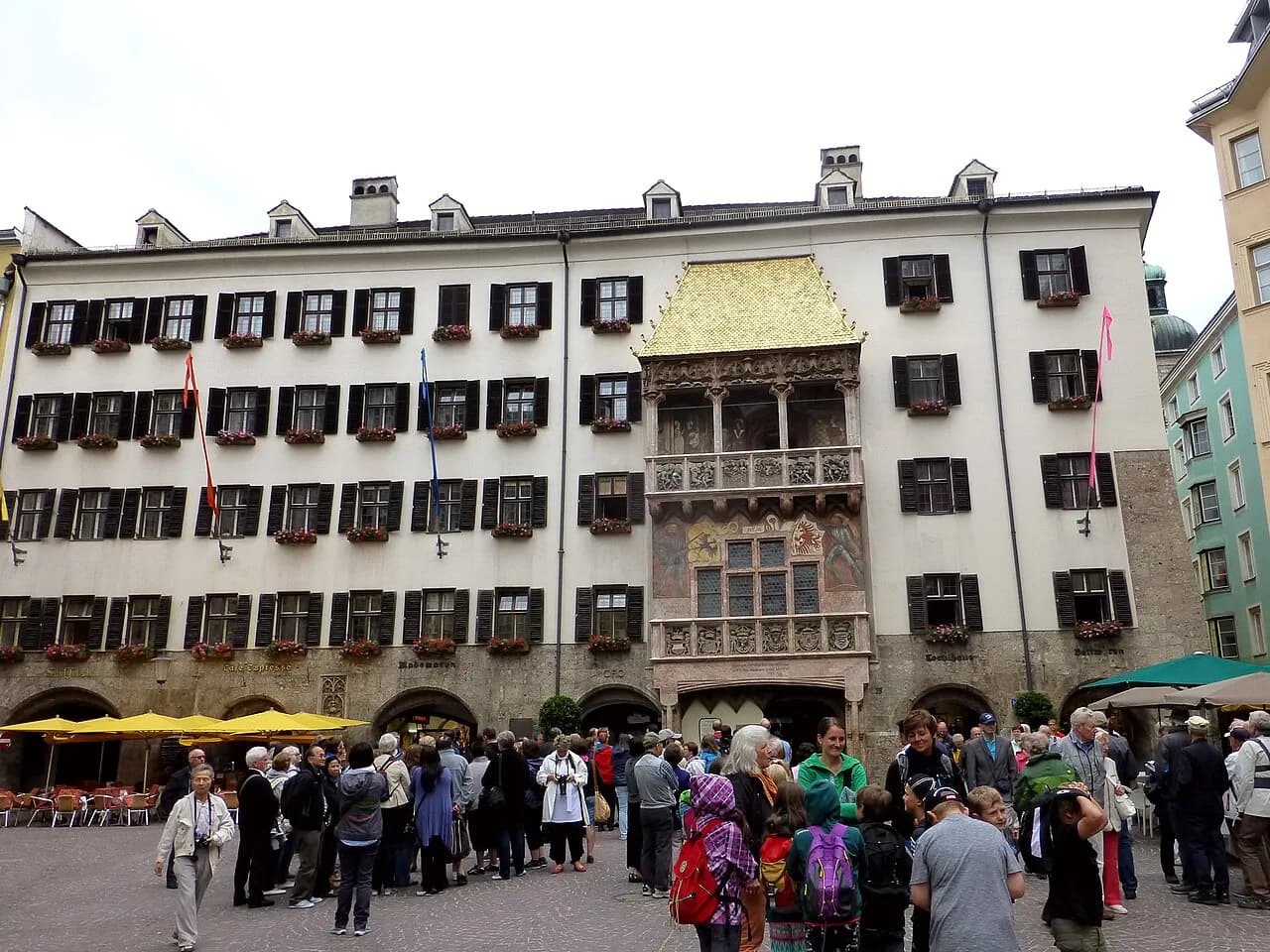
The Stadtturm stands in the heart of the Altstadt, a short walk from the Goldenes Dachl (Golden Roof). You climb 148 steps up one side of a double-helix staircase, duck through a small door, and come out on a narrow balcony that circles the tower for a 360-degree look at the town. Because the tower sits inside the pedestrian center, it slots easily into a morning of sightseeing rather than requiring its own trip.
The balcony is tight, so this is a short stop rather than a place to linger, and the payoff is the straight-down view of painted facades and steep roofs. Because the tower sits inside the pedestrian center, it slots easily into a morning of sightseeing rather than requiring its own trip. Travelers who want more of the surrounding streets before or after the climb can work through the squares and lanes of the Innsbruck Altstadt on foot.
Hungerburg: eight minutes from Congress station to 860 meters
The Hungerburgbahn leaves from the Congress station, a few minutes' walk from the Golden Roof, and reaches Hungerburg in eight minutes; the Alpenzoo is an optional stop on the way. The ride crosses the river and climbs through tunnels before surfacing at the terrace. A viewpoint just outside the station opens onto the city and the valley opposite.
Hungerburg is the middle option: a real elevation gain for little effort, without committing to the full cable car chain. The operator sells tickets online and at the station. Most riders head straight for the top, so a stop at Hungerburg on the way down is a quieter way to take in the view.
The Top of Innsbruck: three cable cars to 2,256 meters
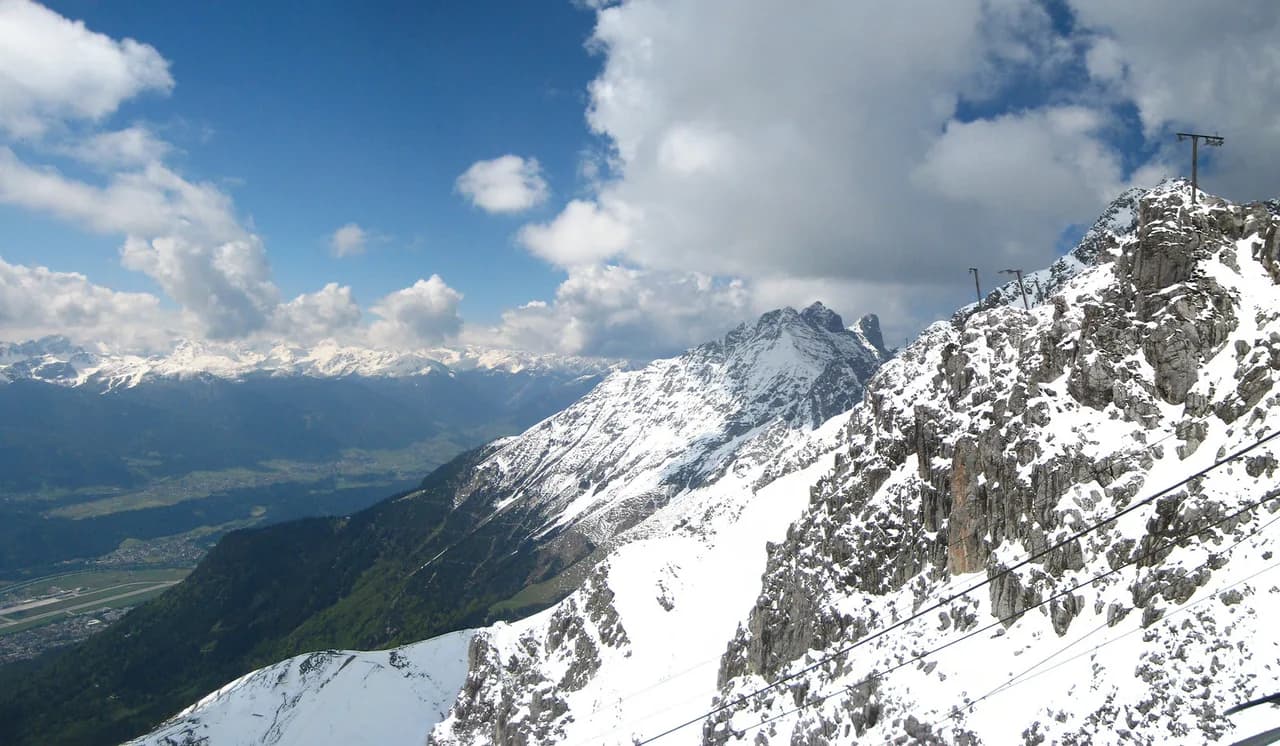
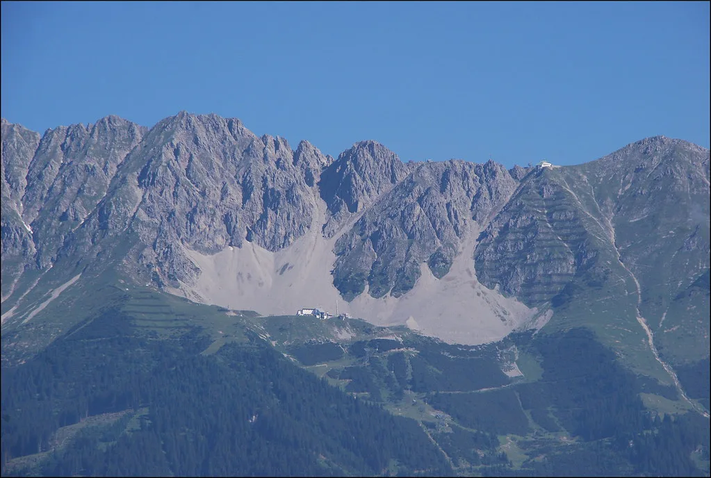
Above Hungerburg the route continues in stages: the Seegrubenbahn lifts you to Seegrube at 1,905 meters, and the Hafelekarbahn covers the last stretch to the Top of Innsbruck viewing point at 2,256 meters in about two and a half minutes. The whole chain from the Old Town to the top takes under 30 minutes. That puts a ridge viewpoint 1,700 meters above the city within reach of anyone willing to pay for the ride.
The reward is the panorama over the Inn Valley and across the Karwendel range, plus the chance of spotting wildlife on the slopes. The catch is temperature: the operator publishes live readings for Hafelekar that can sit well below the valley figure, so a warm day in town does not mean a warm ridge. Carry a layer even in midsummer, and check the webcams on the operator site before buying a ticket.
Walking the last stretch to the Hafelekarspitze
From the Hafelekar station, a wide path climbs to the Hafelekarspitze at 2,334 meters in roughly 10 to 15 minutes, passing geotrail panels that explain how the Karwendel formed. The summit cross marks the highest point of the trip, and the path alternates between views into the Karwendel and down over the Inn Valley. It is a walk, not a climb, but the altitude and the exposed position make it feel bigger than the distance suggests.
The free panorama point on Bergisel Hill
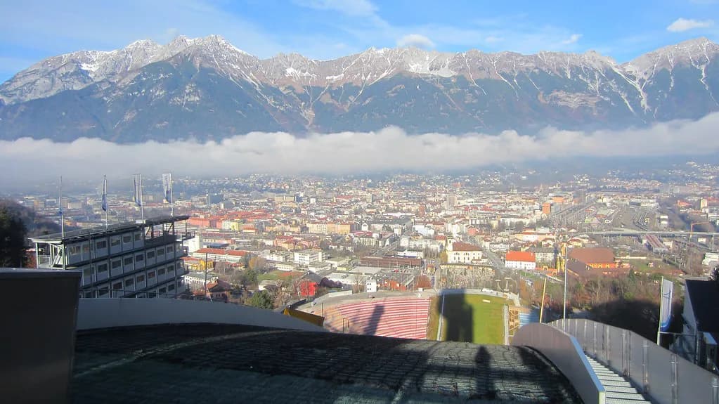
South of the center, near the Tirol Panorama and the Bergisel ski jump, a panorama point sits a few meters from the historic Urichhaus and costs nothing. It takes about half an hour to walk there from the Old Town, and the view runs back across the city toward the Nordkette. Because it is free and outside the ticketed sights, it works well as a late-afternoon add-on rather than a planned excursion.
The hill also holds the Tirol Panorama museum and the ski jump, both of which have their own opening times, so check those separately if you want to combine them with the view. Several museums in Innsbruck keep Monday closures or seasonal hours, which is worth confirming before you build a day around them.
Putting the viewpoints into one day
A sensible order starts with the City Tower in the morning, when the Old Town is quiet and you can judge the cloud from above. If the ridge looks clear from the balcony, head to Congress station and ride the chain to the Top of Innsbruck; if not, take the funicular only as far as Hungerburg and save the upper mountain for another day. Finish with the free Bergisel point on the way back into town.
Budget shapes the choice too. The tower is the cheapest look at the city, the funicular round trip is a modest step up, and the full three-stage ride to the ridge is the largest outlay of the day. Tickets for the Nordkette chain are sold at the Congress station and online; check the current price for your combination on the operator's site before you go.
When cloud and cold erase the view
Innsbruck sits in a valley walled by mountains on two sides, and that geography is exactly why the views are dramatic and why they disappear. Cloud can block the Nordkette while the town stays bright, or swallow the city while the ridge sits in sun. The operator publishes live webcams and current temperatures for Hungerburg, Seegrube and Hafelekar, which is the fastest way to decide before you spend on a ticket.
On a marginal day, treat the tower and the Bergisel point as the reliable fallbacks: both are low, quick, and cheap enough that a half-obscured view does not sting. Save the cable car for a morning when the forecast is genuinely clear, since the ride is the part you cannot undo once you are at the top.
Eating and pausing at the viewpoints
The operator lists restaurants at Seegrube and at the Top of Innsbruck, so a meal or a hot drink is possible at elevation without descending first. Hungerburg has dining options as well, though the choice is limited and worth checking before you rely on it for a late lunch. For a sit-down meal back in town, look at Innsbruck's restaurants in and around the Old Town.
Reaching Congress station and the Old Town without a car
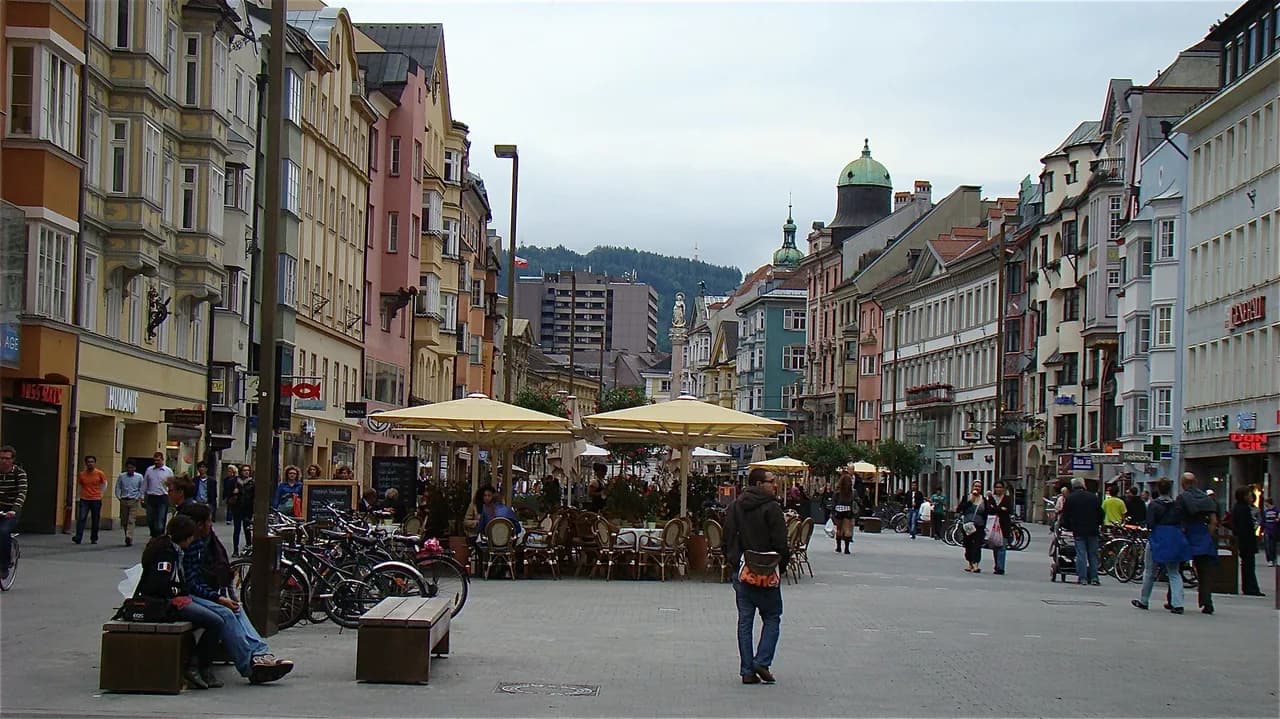
Both starting points sit within the pedestrian center: the City Tower and Goldenes Dachl on one side, the Congress station on the other, a walk of a few minutes between them. That makes a car unnecessary for any of these viewpoints, and the funicular handles the climb that would otherwise be a long road. Innsbruck's history as a Habsburg residence under Maximilian I explains the density of monuments packed into these few streets.
Which Innsbruck viewpoint fits your day?
Take the City Tower if you want the Old Town from above with 148 steps and a small ticket, and add the Bergisel point if you have an hour to spare south of the center. Choose the full Nordkette chain when the sky is clear and you are willing to trade a higher ticket price for a ridge view 1,700 meters above the valley. If the cloud is sitting low, stay in town and keep the mountain for a better morning.
Explore more Innsbruck guides
Frequently Asked Questions
Is the Top of Innsbruck worth it?
It is the only viewpoint here that puts you on the Nordkette ridge, 1,700 meters above the city, and the three-stage ride takes under 30 minutes from the Old Town. Whether it pays off depends on the weather: in clear conditions the panorama over the Inn Valley and the Karwendel is the strongest view in town, while low cloud can hide the city completely. Check the operator's live webcams before buying a ticket.
What is the highest point in Innsbruck?
The Hafelekarspitze at 2,334 meters is the highest point reachable on this route, a 10 to 15 minute walk from the Hafelekar cable car station. The Top of Innsbruck viewing point below it sits at 2,256 meters, and Seegrube at 1,905 meters.
What is so special about Innsbruck's setting?
The city sits in a valley hugged by mountain ranges on two sides, so viewpoints come in two kinds: low ones inside the Old Town that look down on roofs, and high ones on the Nordkette that look down on the whole valley. Few cities of this size put a ridge terrace within half an hour of the main square.
Sources
Notes for your next Austrian town break
Optional updates when we add or revise town guides.
You might also like
Continue reading
More guides you'll find useful