Kals am Grossglockner: East Tyrol Village Guide
Kals am Grossglockner is a scattered East Tyrol village below Austria's highest peak. Here is its layout, the main sights, and how it fits an East Tyrol route.
On this page
Kals am Grossglockner is a working East Tyrol village of about 1,100 residents in the Lienz district, set in the Isel valley below the Grossglockner massif. It is not a compact town you stroll in an hour, but a scattered municipality whose hamlets share a church, a main road and a mountain backdrop.
This guide explains the layout, the landmarks in the center, the valley road up toward the mountain, and how Kals fits into a route through East Tyrol, Carinthia and Salzburg. It also covers half-day versus full-day time budgets and the practical trade-offs of visiting without a car.
Where Kals am Grossglockner is
Kals sits in the Isel valley in East Tyrol, the part of Austria south of the main Alpine ridge and east of South Tyrol. It belongs to the Bezirk Lienz and, by area, is the largest municipality in the district, which tells you how much open valley and mountainside it covers.
The nearest town of any size is Lienz, the district capital and the railhead and bus hub for the whole valley. Kals itself is a municipality rather than a resort strip, and the community publishes its own notices and local information on its municipal site.
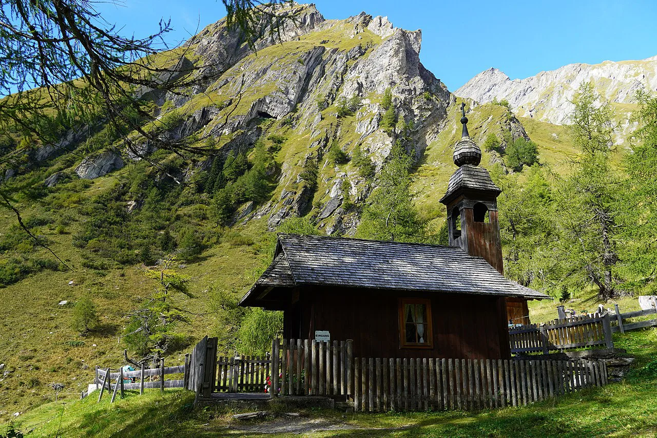
How the village is laid out
Kals is made up of a main settlement plus a ring of hamlets strung along the valley floor and lower slopes, so the place on the map is several clusters rather than one square. That matters when you plan: distances inside the municipality are real, and a car or a local bus makes the difference between seeing the valley and seeing one hamlet.
The center is small enough to walk in half an hour, and that is where you find the parish church and the everyday village fabric. Plan your stop around the center first, then decide whether the valley road or a hamlet is worth the extra time.
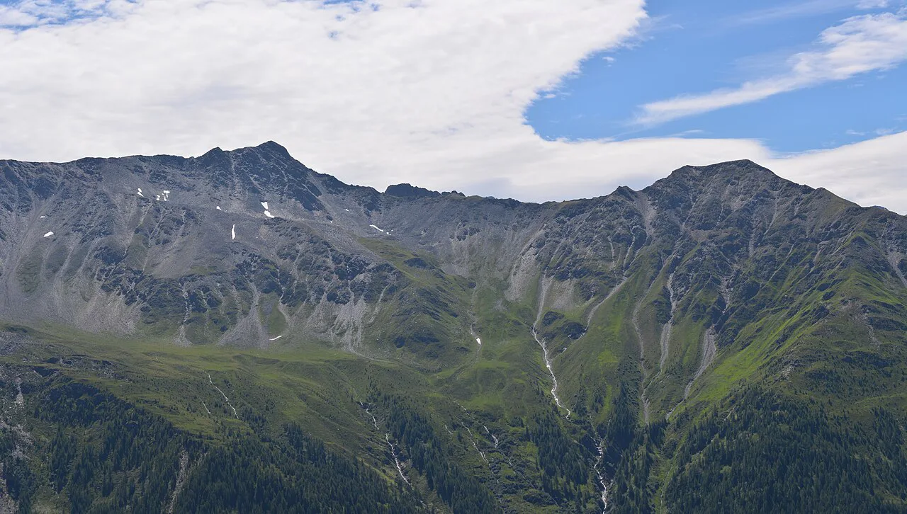
Austria's highest mountain: the Grossglockner
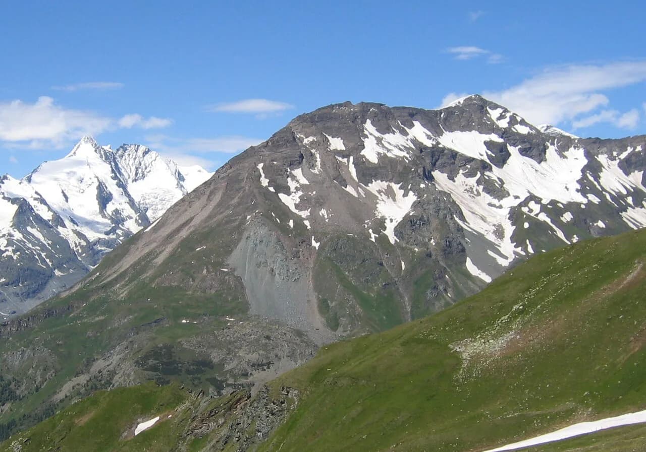
The Grossglockner, at 3,798 meters, is Austria's highest peak, and Kals is one of the villages that lives in its shadow on the south side. The name translates roughly as "big bell," a reference to the bell-shaped summit.
The mountain anchors the whole valley: the local road, the trailheads and the seasonal rhythm of the village all point toward it. The Hohe Tauern National Park page on this site explains the wider protected landscape around the peak.
The Kalser Glocknerstrasse and the valley road
The Kalser Glocknerstrasse leads up the valley from the main settlement toward Lucknerhaus, the road end that serves the approach to the Grossglockner. It is a mountain road, narrow in places and subject to high-alpine weather, so treat it as a destination in itself rather than a fast shortcut.
The road is not the Grossglockner High Alpine Road; that famous toll route crosses the mountains from the Salzburg side, and the pillar guide covers its layout, seasons and practicalities. Kals is a starting point for the southern approach, not a stop on the high road itself.
If you have time in the valley, the side valley toward the Dorfertal gorge is the classic local walk from the road end, though detailed route advice is outside this guide's scope. Check weather and road conditions locally before driving up, because high-alpine roads can close at short notice.
Parish church and village landmarks
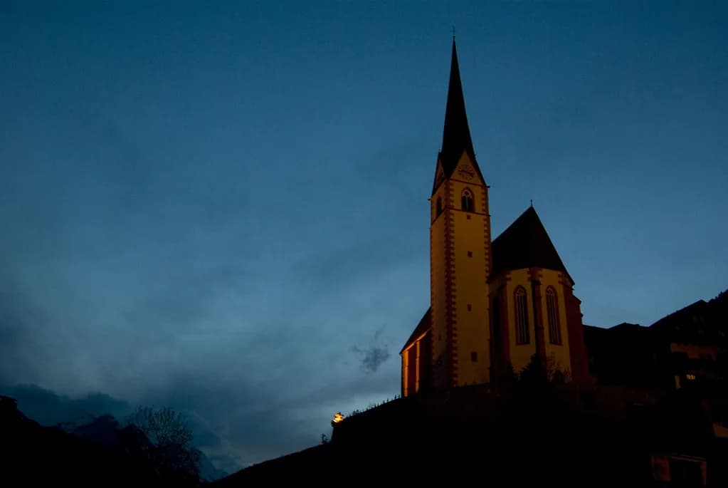
The parish church and the immediate cluster of houses around it are the core of the village and the obvious first stop on foot. Kals is a working community, so its landmarks are modest: a church, a few old farm buildings, and views back up the valley rather than grand baroque showpieces.
Allow a short walk through the center, and treat the church as a village landmark rather than a museum visit. For a proper town stop with an old center and a museum, plan time in Lienz on the way in or out.
Half a day or a full day in the valley
Half a day is enough for the village center, the church and a short drive or walk along the Kalser Glocknerstrasse with a view stop. A full day lets you go further up the valley, spend time at the road end and take in the mountain scenery without rushing.
The trade-off is weather: high-alpine conditions change quickly, and cloud can hide the mountain for hours. If the peak is the point of your visit, keep a flexible day rather than a tightly booked one, and use the village itself as the fallback.
Getting there without a car
The railhead for Kals is Lienz, reached by train on the Drautalbahn line, and from there local buses run into the side valleys. Use the ÖBB timetable for train times and the Postbus timetable for the bus connection; both publish current schedules, so check them for the day you travel rather than relying on a printed plan.
The practical constraint is frequency: rural Postbus services in East Tyrol are limited, especially on weekends, so plan the return trip before you set out. Without a car you can see the center of Kals comfortably, but reaching Lucknerhaus at the end of the valley is harder and may need a taxi or a long walk.
Getting there by car and the Grossglockner High Alpine Road
By car, Kals is reached from Lienz via the Isel valley road, a scenic drive that links into the East Tyrol network. From the south, drivers come up from Carinthia through the Drau valley, which makes Kals a natural stop on a route between Carinthia and the Salzburg side of the Alps.
Do not confuse Kals with the Grossglockner High Alpine Road: that toll road starts at Bruck an der Glocknerstraße in Salzburg and crosses to Carinthia, while Kals sits on the southern side of the massif. The two fit together as a loop only if you plan for the driving time between them.
One more landmark on the high road is the Pasterze Glacier at Grossglockner, the long glacier below the summit that most visitors see from the road's viewpoints. The Pasterze Glacier guide covers what to expect from that stop.
Where Kals fits on a route through Austria
Kals works best as a quiet valley stop between Lienz and the Carinthian lakes, or as the southern counterpart to a Grossglockner High Alpine Road day. East Tyrol links to Carinthia via the Drau valley and to Salzburg via the Alpine passes, which makes the village a useful link rather than a destination in its own right.
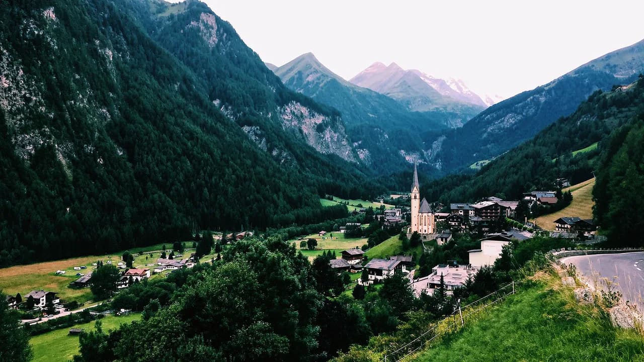
Nearby Heiligenblut am Großglockner, on the Carinthian side, is the better-known village below the mountain and a natural pairing with the high road. If you are tracing the road's southern side, Heiligenblut is the stop with the postcard church and the road access.
Farther afield, Matrei in Osttirol and the Hohe Tauern valleys make a logical next step, and the Malta High Alpine Road offers a different kind of mountain drive south of the main ridge. Both are options for a multi-day East Tyrol loop rather than quick add-ons.
Trade-offs: a quiet village with real constraints
Kals is a working village, not a museum, and its charm is exactly that: a church, a valley road and a lot of mountain. It also means limited services, few formal sights and public transport that rewards planning.
The biggest practical trade-offs are mountain weather and distance: the valley is long, the road is slow, and cloud can cancel the view you came for. If you want guaranteed town sights, put Lienz and Heiligenblut on the itinerary and treat Kals as the scenic pause between them.
Should Kals be a stop on your Grossglockner route?
Kals am Grossglockner earns a place on an East Tyrol route as a quiet valley village and a southern approach to the mountain, not as a headline sight. Give it half a day for the center and the valley road, or a full day if you want to reach the road end and let the weather decide the rest.
Pair it with Lienz for the rail connection and Heiligenblut for the classic Grossglockner village, and keep the timetable flexible for both the Postbus and the weather.
Explore more Heiligenblut guides
Frequently Asked Questions
How tall is the Grossglockner?
The Grossglockner is 3,798 meters high, which makes it Austria's highest mountain. Kals am Grossglockner sits on the southern side of the massif, in the Isel valley in East Tyrol.
What does Grossglockner mean in English?
The name translates roughly as "big bell," referring to the bell-shaped form of the summit. The mountain dominates the valley above Kals and is the reason the local road and trailheads point toward it.
Do you need a car to visit Kals am Grossglockner?
A car makes the valley much easier, because the municipality is spread across hamlets and the road to Lucknerhaus is long. Without one, take the train to Lienz and a Postbus into the valley, and check the timetable for the return service before you set out.
Sources
Notes for your next Austrian town break
Optional updates when we add or revise town guides.
You might also like
Continue reading
More guides you'll find useful