Wörthersee: Lake Towns, Boats and Viewpoints in Carinthia
Plan a Wörthersee trip with the shore towns of Carinthia's largest lake, the boat line that links them and the Pyramidenkogel tower above the water.
On this page
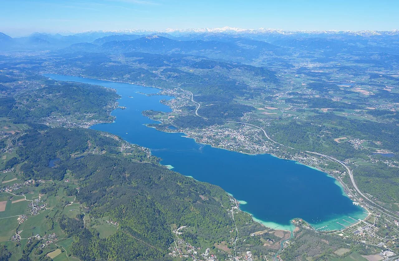
Wörthersee is Carinthia's largest lake, a 16.5 km (10.3 mi) body of water that runs from the outskirts of Klagenfurt west to the bay of Velden. The useful way to plan it is as a chain of shore towns rather than a single destination, each with a different role on a route through southern Austria.
This guide covers where the lake sits, the towns along its shore from Velden to Klagenfurt, the boat services that connect them, the Pyramidenkogel tower above the southern shore, and the Klagenfurt-edge stops at Minimundus and the Planetarium. It also explains how the shore is split between a developed northern side and a quieter southern side, and which regional cards to weigh before buying individual tickets.
Where Wörthersee sits relative to Klagenfurt
The lake lies in the south of Carinthia, close to the Slovenian and Italian borders, and Klagenfurt sits at its eastern end. That makes the Carinthian capital the natural arrival point for travelers coming by train, with the lake beginning just beyond the city.
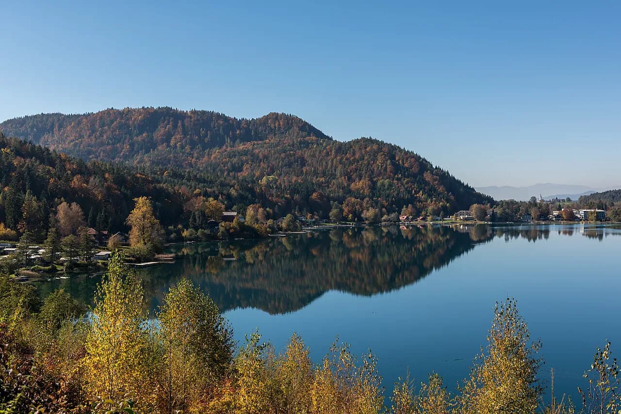
The regional tourism board describes the water as turquoise in summer and the surroundings as turning gold and red in autumn, with a quieter season once the swimming crowds leave. Plan the lake for warm-weather swimming or for a shoulder-season circuit of the shore towns, and expect the mood of each to differ sharply between the two.
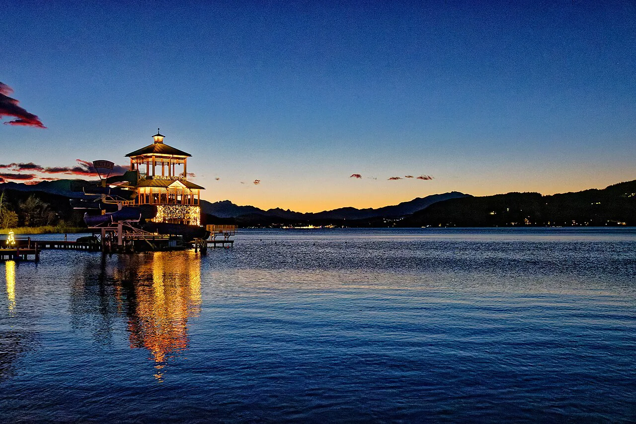
How the lake is laid out, from Klagenfurt's edge to the bay of Velden
Wörthersee stretches roughly 16.5 km from the edge of Klagenfurt to the bay of Velden. The regional tourism board groups its shore destinations as Velden, Pörtschach, Techelsberg, Moosburg, Krumpendorf, Maria Wörth and Schiefling, plus the Keutschacher Seental valley and the Rosental. Use those names as the frame for planning short hops along the shore.
Treat the lake as two arcs for planning purposes: a northern arc through Krumpendorf, Pörtschach and on toward Velden, and a southern arc that reaches Maria Wörth and the Keutschach basin behind the lake. With the main towns strung along the northern side, a car-free route is simplest if you stay on that side and reach the southern villages by road or boat.
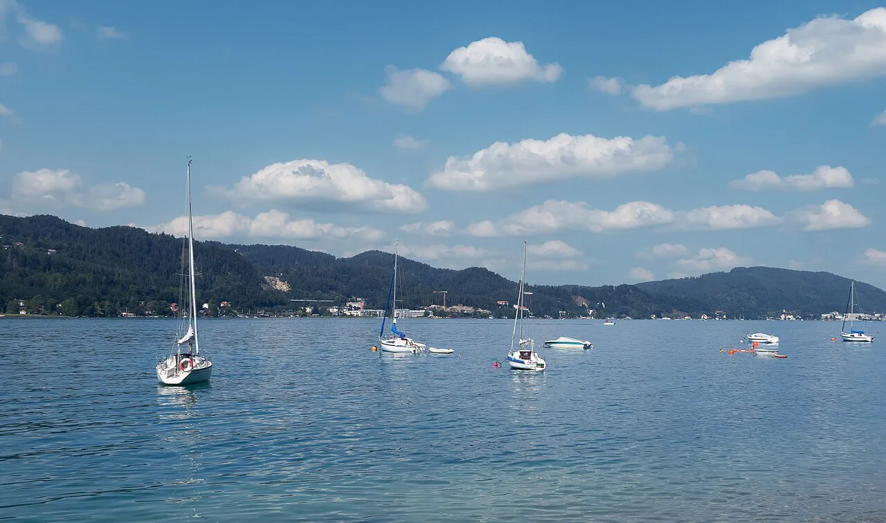
The shore towns: Velden am Wörthersee, Pörtschach, Maria Wörth and Krumpendorf
Velden am Wörthersee sits at the western end of the lake and is the shore's best-known address, with a compact center around the bay. It works as a base for the western half of the lake and as a starting point for trips along the northern shore.
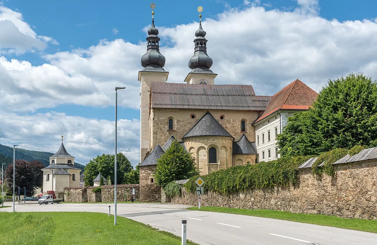
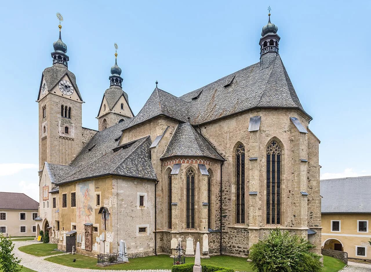
Pörtschach am Wörthersee lies midway along the northern shore and is one of the lakeside towns listed by the regional tourism board. Maria Wörth, on its small peninsula on the lake's southern side, is the lake's scenic set piece, with the church and the view back across the water drawing the day-trippers.
Krumpendorf sits near Klagenfurt and serves as the city's lakeside outlet, useful if you want a swim without committing to a full day at the far end of the lake. Pair it with Klagenfurt's museums and the Klagenfurt guide rather than treating it as a destination in its own right.
Reifnitz and the southern shore
Reifnitz sits on the southern side of the lake, reached by road from Klagenfurt or by boat from the northern towns, and it is the gateway to the Keutschach basin behind the lake. The Keutschach am See area, with its four-lake valley, is where the Pyramidenkogel stands, so the southern shore makes sense as a half-day loop rather than a place to stay without a car.
If your route continues south, the Rosental valley below the Karawanken mountains is the next natural stop, with the Drau river running through it and cycling and hiking trails through the valley. The lake's southern villages are the stepping-off point for that valley rather than a resort strip of their own.
Boats on the lake: MS Santa Lucia and MS Speedline
The regional tourism board lists two named vessels among the lake's excursion offerings, the MS Santa Lucia and the MS Speedline. Use them as a way of seeing the shore from the water alongside the towns you visit on land, rather than as a closed sightseeing loop.
Schedules change with the season, so check the current timetable with the operator before you build a day around a specific sailing, and keep a road or rail alternative for the same stretch of shore.
The Pyramidenkogel: the tower and the view over the lake
The Pyramidenkogel is a viewing tower above the Keutschach am See area; the regional tourism board highlights the view from the tower, alongside the UNESCO-listed prehistoric pile dwellings of the area. On a clear day the top gives a wide panorama over the lake, the shore towns and the Karawanken behind it.
Because the tower is above the shore rather than on it, reaching it means a drive or a bus ride from the lakeside villages, and the open-air upper platform is exposed to wind and weather. Go on a clear day, and treat it as a separate outing from the beach rather than a stroll from a lakeside hotel.
The upper platform is the part of the tower most visitors come for, and the ticket desk and current opening calendar are worth checking the day before. Pair the tower with the Keutschach basin's small lakes if you have a car for the afternoon.
Minimundus and the Planetarium Klagenfurt as Klagenfurt-side stops
Minimundus and the Planetarium Klagenfurt are both listed by the regional tourism board as excursion destinations on the Klagenfurt side of the lake. They sit within reach of the city rather than the far western shore, so they slot into a Klagenfurt day or a wet-weather morning before the lake opens up.
Neither is a lakeside attraction in the swimming sense, so plan them separately from beach time and check the day's opening hours before setting out. For the city itself, the Klagenfurt, Austria guide covers the center and the cathedral quarter.
Swimming and lake temperature: what the warm bathing lake means
Wörthersee is a bathing lake, and the regional tourism board describes summer water temperatures of up to 28 degrees Celsius. That warmth is why the shore towns fill in July and August, and why the northern beaches and lakeside terraces are the busiest stretches of the lake in high summer.
The trade-off is straightforward: a warm lake close to Klagenfurt draws crowds at midday, and the quiet hours come early in the morning or after the day-trippers leave. If you want the water without the press of people, aim for June or September and pick the quieter southern shore.
Beachclubs and lakeside terraces for a meal between towns
The lake's food scene is built around beachclubs and lakeside terraces, which the regional tourism board lists as a category of their own alongside the restaurants with lake views. A long lunch on a terrace is the natural break in a shore-hopping day, and it is the reason many travelers split the lake into two half-days rather than one.
The busiest concentrations of terraces and lakeside restaurants are in the larger shore towns, while the quieter southern villages offer fewer tables. Book ahead for dinner in high summer, and expect terrace seating to fill first on a hot weekend.
How long the lake needs and how to plan a route between the towns
Two full days cover the lake comfortably: one for the northern shore towns, one for the Pyramidenkogel and the southern villages. A single day is enough only if you pick either the western end around Velden or the Klagenfurt end around Krumpendorf.
Without a car, the northern shore is the easier side: the main towns sit close together along the lake road and the railway, and the lake's boat service covers part of the same stretch. The southern shore and the tower are the weak link, so build those around a bus connection or a taxi.
Where to base yourself along the lake for a route through Carinthia
Velden am Wörthersee suits travelers who want the lake's liveliest center, while Pörtschach suits those who want a quieter lakeside town midway along the shore. Klagenfurt itself is the practical base if the lake is one stop on a wider Carinthian route rather than the whole trip.
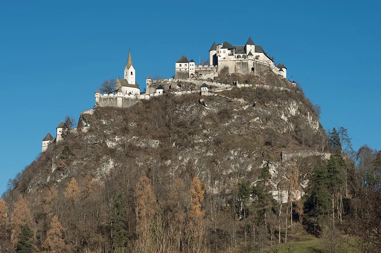
From the lake, the classic inland detour is northeast to Burg Hochosterwitz, the fortified castle above the St. Veit an der Glan area. It is a different kind of day from the shore, and it fits naturally before or after a night on the lake rather than as a substitute for one.
Travelers heading east toward Graz often add Klopeiner See, the warmer, smaller bathing lake in the Jauntal, as a second stop. The two lakes serve different moods, and linking them by train through the Klopeiner See area keeps the route car-free.
What Wörthersee costs: cards and tickets to budget for
The region promotes a Wörthersee Plus Card alongside the wider Kärnten Card, both listed by the tourism board as ways to bundle attractions. Whether either pays off depends on how many of the listed sights, boats and museums you actually use, so price the individual tickets for your shortlist before buying.
Boat fares, tower admission and museum tickets are set by each operator, so check the current price with the operator as your dates approach rather than budgeting from an old figure. Booking a boat and the tower on the same day rarely saves money unless a card covers both.
Which shore town to build your Wörthersee day around
Build the day around one shore town and let the boat or the car do the rest: Velden for the liveliest center, Pörtschach for a quiet midway base, Maria Wörth for the view, and Keutschach for the tower. Trying to tick off every village in a single day leaves you on the road rather than at the water.
Explore more Klagenfurt guides
Frequently Asked Questions
Can you swim in Wörthersee?
Yes. Wörthersee is a bathing lake, and the regional tourism board describes summer water temperatures of up to 28 degrees Celsius. The northern shore towns and their beachclubs are the busiest swimming areas in July and August.
How do you get around Wörthersee without a car?
The northern shore is the easier side without a car, since the main towns sit close together along the lake road and the railway, and the boat service covers part of the same stretch. The southern shore and the Pyramidenkogel are harder, so plan those around a bus connection.
How long does Wörthersee take to see?
Allow two full days for the lake: one for the northern shore towns, one for the Pyramidenkogel and the southern villages. A single day only covers one end of the lake, either around Velden or around Klagenfurt.
Sources
Notes for your next Austrian town break
Optional updates when we add or revise town guides.
You might also like
Continue reading
More guides you'll find useful