Villacher Alpenstrasse: The Dobratsch Toll Road Above Villach
The Villacher Alpenstrasse climbs 16.5 km from Villach to the Rosstratte on the Dobratsch, with hairpins, a Skywalk and an Alpine garden. Here is how to plan it.
On this page
The Villacher Alpenstrasse is a 16.5 km paid-access mountain road that climbs from Villach up the Dobratsch, the city's local mountain, to the Rosstratte, where the asphalt ends. It is one of Carinthia's most popular scenic drives, and because access is ticketed, car and motorcycle traffic is lighter than on a free road. This guide covers how the climb unfolds, the stops at the top, the access windows that constrain a visit and how the route fits a broader Carinthia trip.
Plan around three fixed stops: the viewpoints on the way up, the Skywalk above the Rote Wand and the Alpengarten on the summit plateau. The toll is what keeps the road quiet, so treat the paid ticket as part of the experience rather than an obstacle. Prices and current opening hours are published by the operator, Villacher Alpenstrassen GmbH.
Where the road starts and how the climb unfolds
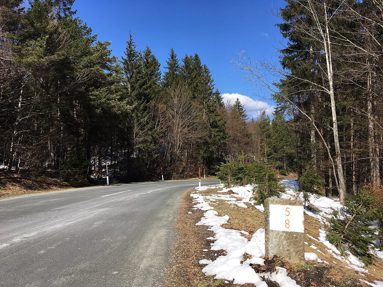
The road begins above Villach and winds up the Dobratsch through sweeping bends and a moderate incline. The operator describes seven hairpin bends on the way to the Rosstratte, while a cycling profile of the same road counts nine turns over 16.4 km with 1,182 m of ascent and an average gradient of 7.2 percent. Either way, the drive is gradual rather than dramatic, which is why it suits ordinary cars and unhurried touring.
The operator describes the road climbing to the Rosstratte at around 1,200 m, the end and high point of the drive. Treat the Rosstratte as where the asphalt ends rather than an alpine pass. The climb is mostly through forest, so the big views arrive near the top rather than continuously along the way.
Set aside time for the drive itself, then add more for the viewpoints, the Skywalk and the Alpine garden. Because the road is paid, the volume of cars and motorcycles is lower than on a free scenic route, which makes the hairpins more relaxed. The trade-off is that you pay for the privilege and should check the ticket price before you commit.
The three-country view from the top
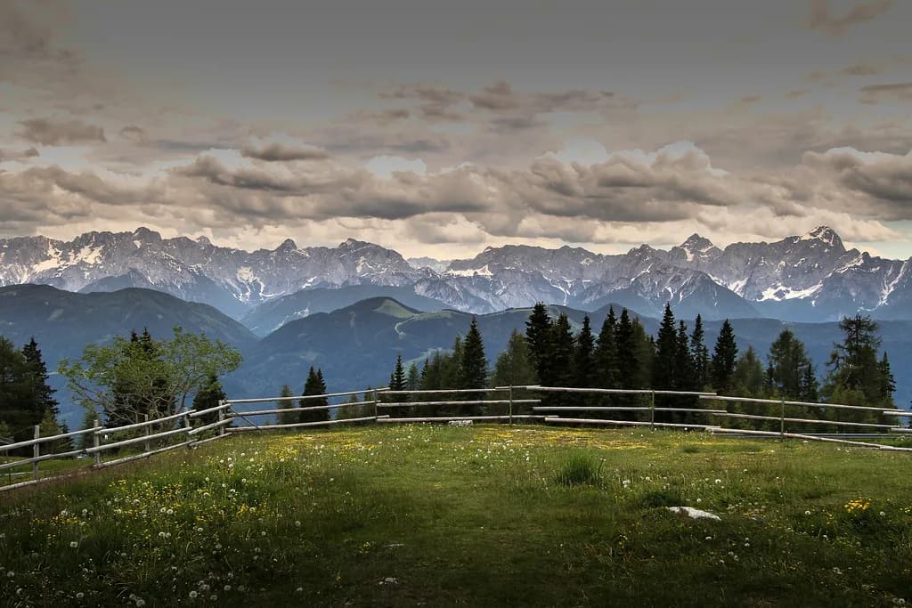
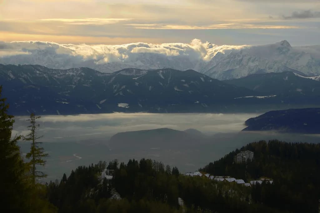
From the panoramic points along the road, the view reaches across three countries: the Julian Alps in Italy and Slovenia, and the Karawanken in Carinthia. On a clear day this is the reason to make the climb, so choose your day with the weather in mind. A live panorama webcam at the Rosstratte shows the conditions at the top before you set off.
The Skywalk is a platform that juts out about 400 m above the Rote Wand, giving the sensation of floating over the valley. It is the single most memorable stop on the drive, and it is worth timing your visit for a clear spell rather than pressing on in cloud. The Rosstratte marks the end of the road and the natural place to turn around.
The Alpengarten and the bird exhibition at the top
The Alpengarten Villacher Alpe covers 10,000 sq m and displays around 800 Alpine plants from three climate zones. It is a genuine botanical stop rather than a roadside flower bed, so allow time to walk through it. The garden sits in the Dobratsch Nature Park, Carinthia's oldest conservation area, which the road passes through on its way up.
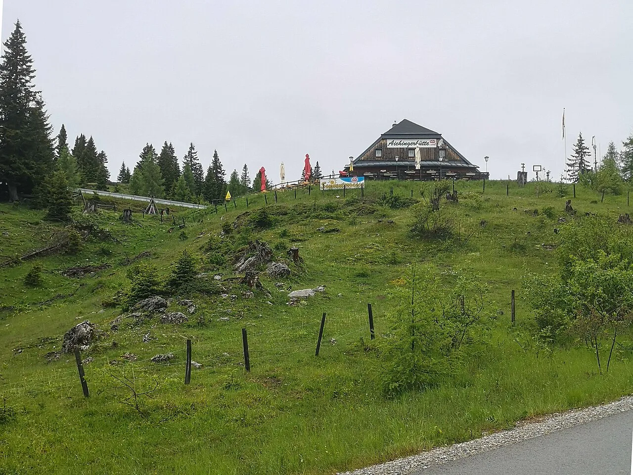
At the Aichingerhütte, the exhibition 'Rulers of the Skies' is devoted to the birdlife of the region, and animals can be seen on the alpine pastures and in the mountain woodlands along the way. It is an indoor stop that works well when the summit weather turns. Opening times for the garden and the exhibition are not fixed in this guide, so confirm them with the operator before you rely on either.
Access windows and the overnight closure
Access beyond the ticket office is prohibited overnight. From June 1 to August 31 the closure runs from 10:00 pm to 4:00 am, and from September 1 to May 31 it runs from 9:30 pm to 5:00 am. Motorcycles are barred between 8:00 pm and 7:00 am in all seasons. These windows matter if you plan a sunset drive or an early start: check the clock before you commit.
The road is a seasonal mountain route, and the operator publishes prices and opening hours on its own site. Do not assume a winter opening, and do not treat a previous year's dates as current. If you are visiting outside the main summer months, check the status before you build the drive into your itinerary.
Checking conditions before you drive up
Weather at the top can differ sharply from Villach in the valley, and the Rosstratte webcam is the quickest way to see if the summit is clear or in cloud. Combine that with the operator's live status for car, motorcycle and bicycle access, which shows whether the road is open to each type of traffic. This is more reliable than guessing from a valley forecast.
Because the road carries cars, motorcycles and bicycles on the same asphalt, the operator's status check also tells you what you will be sharing the route with and whether bicycles are currently admitted. If you plan to cycle, the climb profile gives a realistic picture of the gradients and the length. Note that access is ticketed for motor vehicles, so a bike ride is a different proposition from a drive.
Driving versus cycling the road
The paid access keeps car and motorcycle traffic lighter than on a free mountain road, which is a real advantage for cyclists. The climb profile records a 16.4 km ascent with an average gradient of 7.2 percent and steeper sections in the middle and at the end, so it is a serious climb rather than a gentle spin. Riders share the asphalt with motorbikes, and one rider's account in the profile describes fast passing traffic.
For drivers, the appeal is the combination of easy gradients, sweeping bends and the panorama at the top, with the Skywalk and garden as natural stops. The cycling numbers are useful context even if you never touch a pedal: they show how much climbing the road packs into its length. Choose your mode of transport based on how much time and effort you want to spend on the mountain.
Fitting the Dobratsch into a Carinthia route
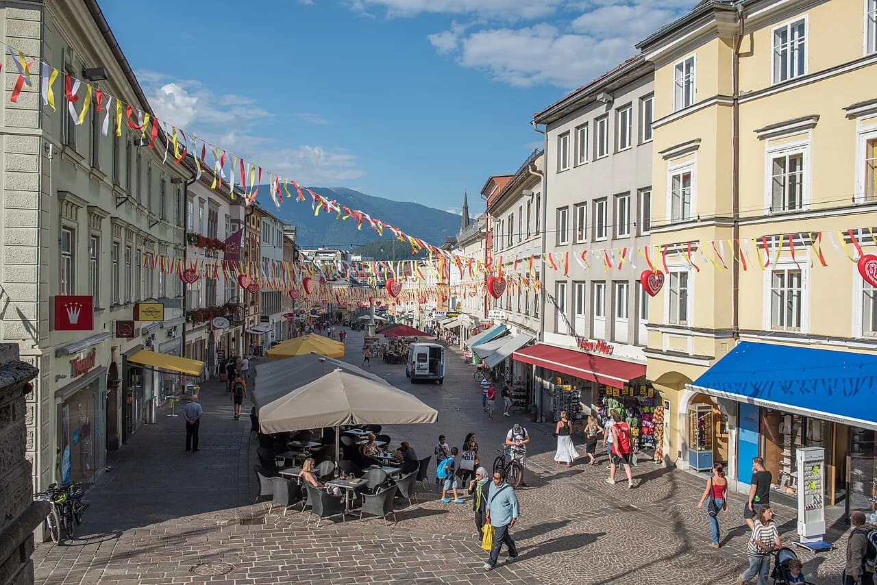
The Villacher Alpenstrasse is a half-day excursion from Villach, which makes it an easy add-on to a stay in the city. If you are based around the lakes, Ossiacher See is a straightforward base for combining the Dobratsch with lake time. The drive up and back leaves the rest of the day free for the old town or the water.
Allow roughly three to four hours for the round trip including stops, and more if you plan to walk part of the way or linger over the view. Check the access windows and the weather first, then decide whether to drive or cycle. The mountain is close enough to Villach that you can keep the plan flexible and shift it to a clearer day.
Should you put the Dobratsch road on your Carinthia itinerary?
Yes, if you want a quiet, paid-access mountain drive with a genuine viewpoint at the end and a botanical stop on the summit plateau. The three-country panorama, the Skywalk and the Alpine garden justify the detour from Villach. The main planning constraints are the access windows and the weather at the top.
Check the ticket price and the current road status before you set out, and use the Rosstratte webcam to decide whether the summit is worth the climb today. If you are based at Ossiacher See, the drive slots easily into a lake-and-mountain day. Skip it if you only have time for the valley: the road rewards those who build in time for the stops at the top.
Explore more Villach guides
Frequently Asked Questions
How long does the Villacher Alpenstrasse take to drive?
The road itself is 16.5 km, and the climb takes roughly an hour. Add time for the Skywalk, the Alpine garden and the viewpoints, so a round trip from Villach with stops runs to about three or four hours.
Is there a toll on the Villacher Alpenstrasse?
Yes. Access is paid for motor vehicles, and the operator publishes the current ticket price on its site. The toll is part of what keeps car and motorcycle traffic lighter than on a free mountain road.
Can I drive the Villacher Alpenstrasse at night?
No. Entry beyond the ticket office is prohibited overnight: from June 1 to August 31 between 10:00 pm and 4:00 am, and from September 1 to May 31 between 9:30 pm and 5:00 am. Motorcycles are barred between 8:00 pm and 7:00 am.
What is at the top of the Villacher Alpenstrasse?
The road ends at the Rosstratte, where you find the Skywalk above the Rote Wand, the Alpengarten with around 800 Alpine plants, and the 'Rulers of the Skies' bird exhibition at the Aichingerhütte. Check opening times with the operator before you rely on any one stop.
Where can I check whether the road is open?
The operator publishes live status for cars, motorcycles and bicycles, and a panorama webcam at the Rosstratte shows the weather at the top. Both are worth checking before a drive, especially outside the main summer season.
Sources
Notes for your next Austrian town break
Optional updates when we add or revise town guides.
You might also like
Continue reading
More guides you'll find useful