Linz Map for Visitors: Old Town, Hauptplatz and the Sights by Area
A visitor's map of Linz: how the Hauptplatz, Landstraße and the Danube line up, which sights sit within walking distance, and what lies beyond the center.
On this page
A Linz map has one reliable anchor: the Hauptplatz, the vast square at the heart of the old center, with the Danube a short walk to the north and the Landstraße shopping axis running away from it toward the station side of the city. Everything a first-time visitor wants to see clusters around that cross of square and street, with two headline sights — the Mariendom and the Pöstlingberg — sitting outside the immediate historic grid. This guide lays the city out the way the map does, area by area, so you can build a walking loop instead of a checklist.
The result is a compact day on foot, with one deliberate detour across the river. Use the sections below to see what sits within the center, what needs a ride, and how the whole thing plugs into a Danube itinerary.
What the Linz map shows at a glance
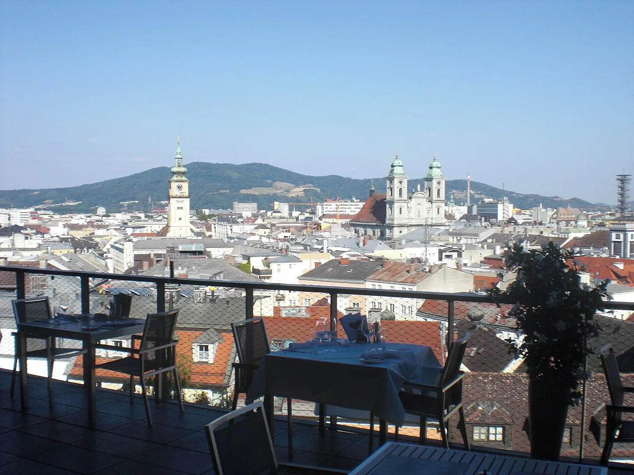
The Hauptplatz is the pivot. Landstraße, the main shopping street, heads roughly south from the square into the newer city and toward the station side, while the Danube runs along the north edge of the old center. The Altstadt (old town) wraps tightly around the square, so almost every baroque facade, church and museum in the historic core sits within one continuous walk.
Linz spreads the sights travelers ask about most — the Linzer Torte, the Ars Electronica Center, the Musiktheater am Volksgarten, the Brucknerhaus, the Mariendom, the Schlossmuseum, the Hauptplatz, the Pöstlingberg, the voestalpine Stahlwelt, the Lentos Kunstmuseum and the Landstraße — across a small, walkable city rather than a long list of distant stops. That is the practical point of the map: most of them sit in one cluster, and a handful sit clearly apart.
A free city plan published by Linz Tourismus shows the center at street level and is the version to carry if you want printed orientation. Treat any dated edition as a layout reference rather than a live guide to opening times.
Hauptplatz and the Altstadt
The Hauptplatz is described as the largest square of its kind in Europe, framed by baroque and rococo facades, with a gold-decorated marble plague column standing in the middle. The Gothic Altes Rathaus (Old Town Hall) on the square received its baroque decoration in 1658, and its octagonal tower is the landmark to navigate by when you come out of the side streets.
The Hauptplatz is a sensible first stop rather than a sight you save for later. Pick up orientation material, then work outward through the Altstadt lanes on foot, because the distances between the square, the riverfront and the museums are short.
The Landstraße axis
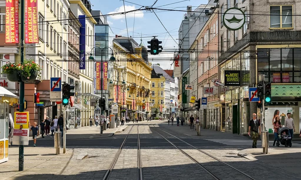
Landstraße is the central shopping street and, after Vienna's Mariahilfer Straße, the most important retail stretch in Austria, which is why it looks busier and more modern than the lanes around the Hauptplatz. On the map it is your line back toward the station side of the city and the easiest way to keep your bearings when the old-town streets start to curve.
Practically, treat Landstraße as a transit corridor with shops rather than a sight in itself. Walk it once to connect the Hauptplatz with the southern part of the center, then spend your time in the square and the blocks around it.
Museums around the center
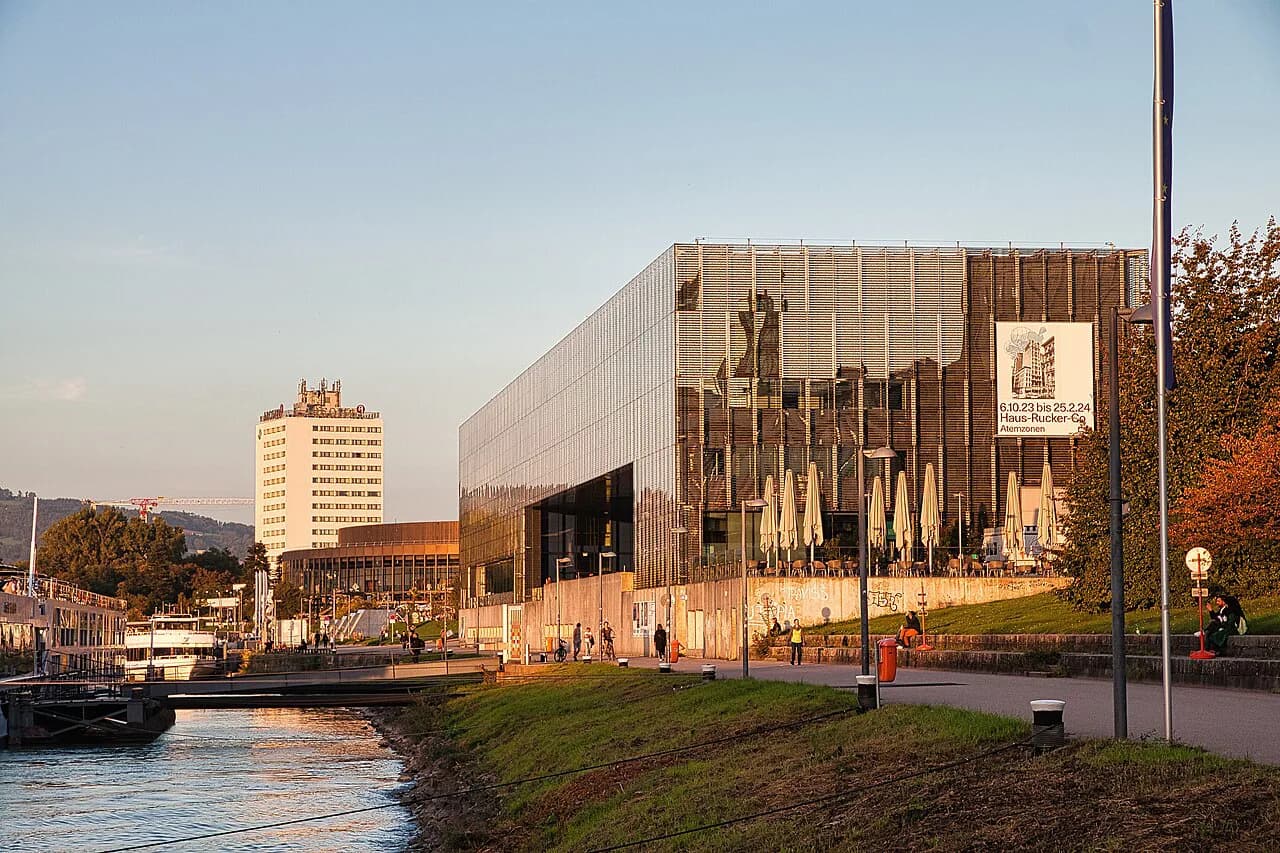
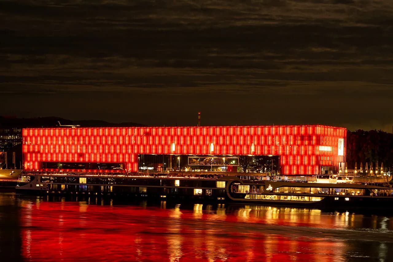
Three museums form a loose arc between the old center and the river. The Lentos Kunstmuseum, the city's contemporary art museum, stands on the Danube with its naturally lit exhibition halls, while the Schlossmuseum Linz is billed as Austria's largest universal museum, with permanent collections on nature and technology and a terrace view over the roofs. The Ars Electronica Center, the media-art anchor of the UNESCO City of Media Arts, adds the digital strand.
The Lentos and the Ars Electronica Center sit close enough to the Hauptplatz to pair in one afternoon; the Schlossmuseum needs more time because of the size of its collections. If your interests run to technology and digital art, the city's museum landscape goes well beyond these three.
The churches: Mariendom and the old center
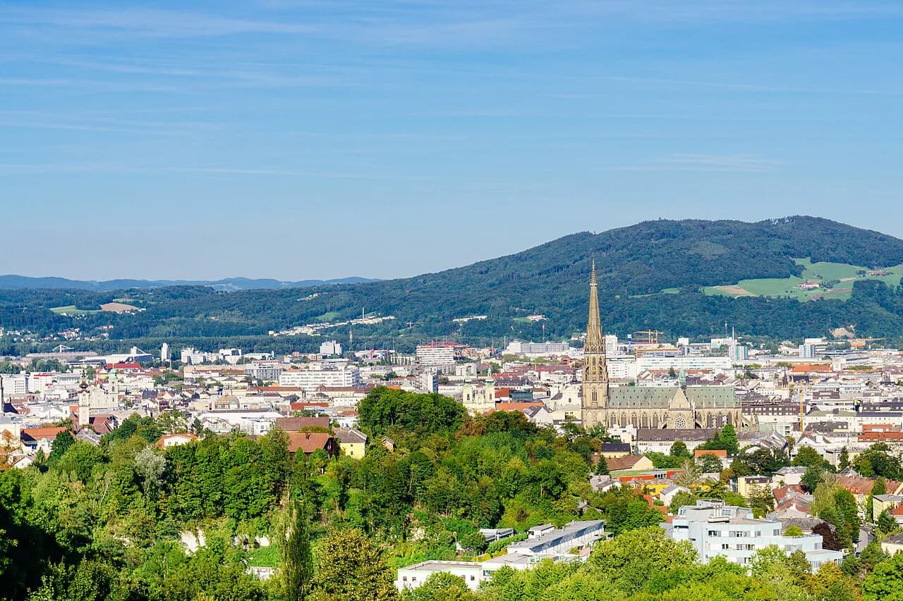
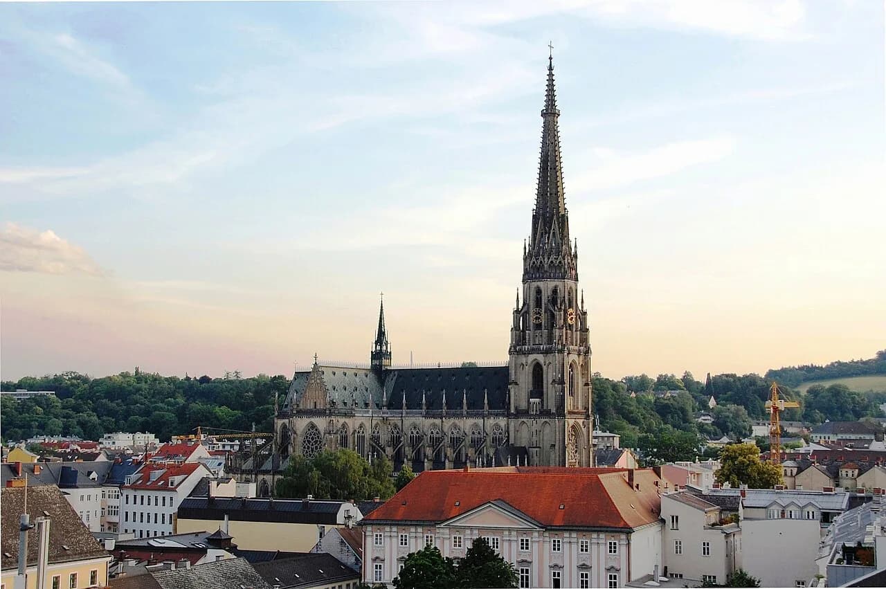
The Mariendom (New Cathedral) is the largest church in Austria, and its neo-Gothic tower falls only a few meters short of Vienna's Stephansdom. It sits outside the tight Hauptplatz grid, so on the map it reads as its own stop rather than something you pass on the way to the river.
For a route, give the Mariendom its own slot and connect it back to the center along Landstraße. The walkable core means you are never far from the square, but planning the cathedral as a separate leg keeps you from zigzagging across the map.
Across the Danube: the Pöstlingberg
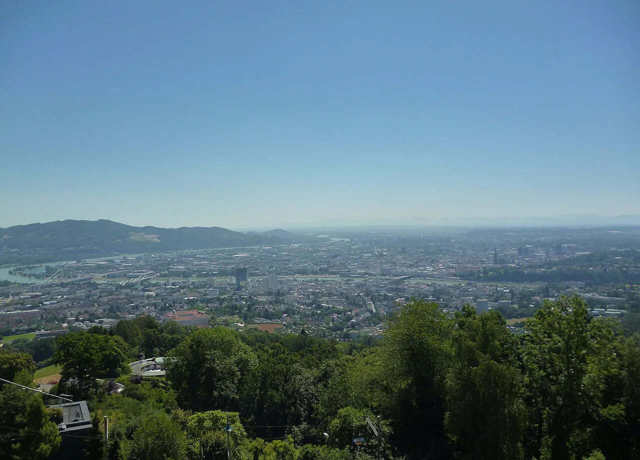
The Pöstlingberg is Linz's signature viewpoint, a hill crowned by a pilgrimage basilica and reached by the steepest adhesion railway of its kind. It is the one major sight that genuinely sits off the center grid, so the map has to be read in two parts: the old town on foot, and the hill by rail.
Budget the Pöstlingberg as a half-day outing rather than a quick add-on, because the trip up and back plus time at the basilica and the view eats into a center-based walk. The basilica itself is the marker you will see from the Hauptplatz, which makes the hill easy to place on the map even before you go.
Practical stops and the sights outside the core
The Hauptplatz holds the tourist information office, so the map's most useful fixed point is also the square's most practical stop. From there the Landstraße axis and the riverfront cover almost everything in the historic center on foot.
Two named sights sit well outside that walk. The voestalpine Stahlwelt is an interactive steel-themed exhibition world and requires a separate trip, and the Pöstlingberg needs its railway. If you are mapping a wider day, the city's broader lineup of attractions is easier to sort by area than by category.
Using the map with a route through Austria
Linz sits on the Danube between the Wachau valley and the river towns further east, which makes it a natural stop on a Danube-and-Alps route rather than a standalone destination. On the map, the center's compactness is the advantage: you can arrive, walk the Hauptplatz, the Landstraße and the riverfront museums, and still treat the Pöstlingberg separately if time allows.
Plan the center-based walk first and let the hill be optional, since the railway trip is the part that stretches a day. If your itinerary runs along the Danube, position Linz between river stops and keep the station side in mind for onward connections; the Things to Do in Linz guide lists the sights in a handy order.
Which part of Linz do you map first?
Start at the Hauptplatz, pick up orientation material there, and walk the Altstadt and Landstraße before deciding whether the Pöstlingberg earns its half-day. That order keeps the longest trip last and leaves the compact center as the fixed part of your plan.
Explore more Linz guides
Frequently Asked Questions
What is Linz, Austria known for?
Linz is known for the Hauptplatz, one of the largest squares of its kind in Europe, for the Mariendom, Austria's largest church, and for the Pöstlingberg, reached by the steepest adhesion railway of its kind. It also has a strong museum scene, including the Lentos Kunstmuseum, the Schlossmuseum Linz and the Ars Electronica Center, and it is the city behind the Linzer Torte.
Sources
Notes for your next Austrian town break
Optional updates when we add or revise town guides.
You might also like
Continue reading
More guides you'll find useful